Avalanche experts launch new map of Colorado’s public weather stations, among other tools
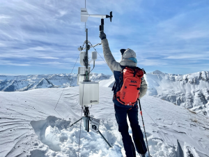
The new weather stations map includes stations operated by the CAIC, ski areas, the SNOTEL network and CDOT
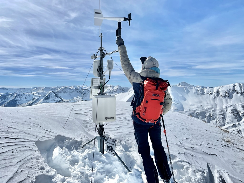
Colorado Avalanche Information Center/Courtesy photo
The Colorado Avalanche Information Center has launched new tools to help those recreating in the backcountry access avalanche information and understand current conditions.
These tools include a new map of the state’s public weather stations, an expanded database of avalanche accidents in Colorado and across the country, improvements to field reports, and an updated media gallery, according to a news release.
“We want people traveling in the backcountry to have the best information possible,” CAIC Director Ethan Greene said in a statement. “These tools improve access to trustworthy data and help people understand current conditions before heading out into the mountains.”
In response to frequent requests from the public, the avalanche center created its new weather stations map, which plots the locations of weather stations with publicly accessible data, according to the news release. It includes weather stations operated by the avalanche center as well as by ski areas, the SNOTEL — or snow telemetry — network and the Colorado Department of Transportation.
The tool offers a deeper look at the meteorological data that supports CAIC forecasts and makes it easier to track weather trends and snowpack development over time, according to the news release.
The avalanche center has also updated its avalanche access data display to include historical Colorado records, including fatal accidents dating back to 1997 and non-fatal avalanche involvements dating back to 2011.
The team of Colorado avalanche experts has also made it easier to read and submit field reports. Updates include more detailed location information, a mobile-friendly display for smartphones, and a smooth upload process that supports video, the release states.
Finally, the CAIC has also updated its media gallery with improved search functions and a system for avalanche forecasters to rate images to highlight important media.
“We encourage everyone to explore these tools now, learn how to use them, and check the forecast before heading into the backcountry,” Greene said.
The new features as well as avalanche forecasts are available at Colorado.gov/avalanche.


Support Local Journalism
Support Local Journalism
The Sky-Hi News strives to deliver powerful stories that spark emotion and focus on the place we live.
Over the past year, contributions from readers like you helped to fund some of our most important reporting, including coverage of the East Troublesome Fire.
If you value local journalism, consider making a contribution to our newsroom in support of the work we do.