First major snowstorm in weeks to bring up to a foot of snow, below-zero temperatures to Grand County
Winter blast arrives Friday afternoon through Saturday evening, followed by another round on Sunday

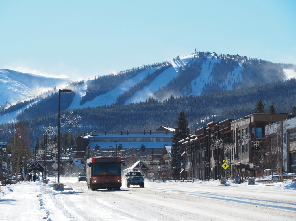
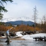
Winter Park & Fraser Chamber/Courtesy photo
A major snowstorm is forecast to hit the Colorado mountains this weekend, bringing a wave of snow — up to a foot or more in many places — after an extended dry spell and amid a record-low snowpack statewide.
Meteorologist Seth Linden — who runs Seth’s Weather Report, a popular Facebook page that provides mountain forecasts — said that while the storm will favor the southern mountains, it is expected to deliver snow to all of the state’s major ski resorts.
“We have sort of a combination of storms,” Linden said. “It’s basically a southern track with some moisture combining with a northern track trough coming out of the northwest, and as that sweeps down into Colorado, it’s going to pull cold air in. It’s going to kind of combine over Colorado.”
The storm will roll into the mountains beginning Friday morning, hitting the San Juan Mountains around 11 a.m. before spreading into the central and northern mountains by about 2 p.m., he said. The brunt of the storm will continue until about 5 p.m. on Saturday with the potential for a secondary wave of snow from about 2 a.m. to 5 p.m. Sunday, he added.
Ski resorts in the southern half of the state, including Wolf Creek Ski Area and Crested Butte Mountain Resort could see the most fresh snow, between 12 and 18 inches of fresh snow or more, he said. Aspen-Snowmass is also favored, with between 10 to 16 inches of snow possible this weekend.
The storm will hit Grand anywhere between early to mid afternoon to evening on Friday, and will gradually taper off from north to south throughout the day on Saturday.
“It will be snowing at least somewhere in the county by sunset,” said local meteorologist JP Connick. “That will end, gradually disappearing north to south throughout Saturday afternoon, as we could see lingering snow shower into late after evening hours toward the south.”
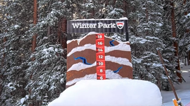
Winter Park Resort could see up to a foot of fresh snow by the end of the day Saturday.
“Southern Grand is going to be hit hardest for sure, especially southeastern Grand, with the best accumulation chances of up to even a foot in Winter Par,” said Connick. “It looks like the system is moving a little more south. Winter Park and Fraser will get hit the hardest.”
Another smaller round of snow showers is expected to take place on Sunday, perhaps shedding another one to four inches.
“We’ll likely see travel impacts that extend through the weekend, because tomorrow it’s going to be cold, and it’s going to a light and fluffy snow, so it’ll the kind of powder people will want to ski.” ” said Connick. “Sunday we have another chance of some snow showers with breezy winds that could move the snow.”
Vail Mountain and Beaver Creek Resort should also see substantial amounts of snow, in the range of 8 to 14 inches, Linden said. Ski resorts in Summit County, including Copper Mountain, Breckenridge Resort, Keystone Resort, and Arapahoe Basin Ski Area, will likely see slightly less snow, with 6 to 12 inches forecasted.
With this storm, he said Steamboat Resort is a “wildcard,” with an estimated 4 to 8 inches in the forecast.
“But I will say this: Of all the places I’ve found in Colorado in terms of ski areas, Steamboat is one of the absolute hardest to forecast,” he said. “The models just struggle.”
Along with abundant snow, he noted that this storm is expected to pull frigid air from the north down into the mountains.
While temperatures on Friday are expected to start out in the teens to low-20s, by Saturday high-elevation areas like Summit County and Aspen could see temperatures in the single digits. By Sunday, temperatures are forecast to drop below zero, with lows of negative 10 to 15 degrees Fahrenheit and highs in the single digits.
“We’re looking at probably the coldest temps of the season for Saturday and Sunday in the mountains,” Linden said, noting that anyone who is planning to ski should dress in extra layers to stay warm.
Snowpack remains historically low
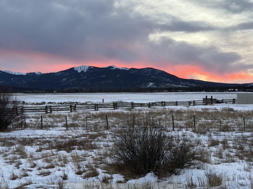
With Colorado’s snowpack sitting at historic lows, the incoming storm will be the largest of the calendar year so far and one of only a handful of storms that has brought significant snow to the mountains this winter season.
Statewide, the snowpack has sat at the zeroth percentile, or the lowest on record for more than a week. While Colorado would have to see multiple large snowstorms to rebound to normal snowpack levels, Linden said he expects this storm will get the state “off the floor” from its current record lows.
Although he isn’t seeing signs of a major pattern shift that would bring a string of significant storms to Colorado, he noted that “every little bit of snow helps” and “it does look colder and snowier overall.” That’s good news not only for skiers and snowboarders, but also for Colorado’s water supply and fire risk next summer, which are tied closely to snowpack levels.
Following this weekend, Coloradans can expect a short dry spell from about Monday through Wednesday, he said. But by Thursday forecast models are showing the potential for another storm toward the tail end of January and potentially even another storm to start out February, he said.
The weak La Niña pattern that has dominated the season so far is fading out, with longer term forecast models showing a shift to a neutral pattern that could bring slightly better chances of precipitation through the state.
“La Niña transitions to neutral, maybe even El Niño, by the time we get to spring/summer,” Linden said. “That should kick the storm track into higher gear over Colorado — that’s my hope.”
La Niña is a pattern characterized by unusually cold ocean temperatures in the Pacific Ocean near the equator, while El Niño is a pattern characterized by unusually warm ocean temperatures, according to the National Oceanic and Atmospheric Administration. In Colorado, the El Nino tends to bring wetter springs and summers to the mountains.
While it remains to be seen what the long-term forecasts bring, Linden said at least this weekend he and other Coloradans will be out enjoying the fresh snow.
“I’m looking forward to skiing powder,” he said. I make it a goal to ski as much untracked pow as I can, and that’s within the bounds of a full-time job, busy family with two kids, the weather report, and everything else.



Support Local Journalism
Support Local Journalism
The Sky-Hi News strives to deliver powerful stories that spark emotion and focus on the place we live.
Over the past year, contributions from readers like you helped to fund some of our most important reporting, including coverage of the East Troublesome Fire.
If you value local journalism, consider making a contribution to our newsroom in support of the work we do.