Warm storm delivers modest totals to Colorado’s northern mountains

Austin Colbert/The Aspen Times
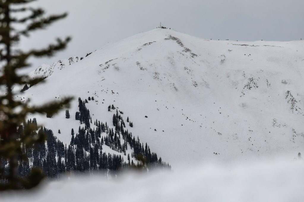
Friday morning wrapped up a warm storm across Colorado’s northern and central mountains, bringing totals of up to 10 inches of snowfall for several resorts.
Higher elevation areas of the northern mountains — particularly those in and near Summit County and closer to the Continental Divide — received the most amount of snow, with Copper, Winter Park and Breckenridge mountains seeing among the highest totals.
Meanwhile, lower base areas and valleys received rain and cloudy skies, thanks to a warmer storm with a snow line of roughly 9,000 feet.
Earlier this week, OpenSnow meteorologists predicted the storm’s snow totals would be around 5-10 inches, closely matching actual totals for the northern mountains. The central mountains all saw less than 5 inches of snow.
Here’s how much snow fell between Wednesday through Friday morning for some Western Slope mountains, according to a Friday report from OpenSnow:
Aspen Mountain: 0.5 inches
Snowmass: 0.5 inches
Copper Mountain: 10 inches
Winter Park: 9 inches
Breckenridge Ski Resort: 9 inches
Arapahoe Basin Ski Area: 8.5 inches
Keystone Resort: 8 inches
Loveland Ski Area: 7 inches
Vail Mountain: 7 inches
Steamboat Resort: 6 inches
Beaver Creek: 6 inches
Irwin: 4.5 inches
Cooper Mountain: 4 inches
Sunlight: 0.5 inches
Friday and Saturday will be dry, while Sunday will bring northern showers. The next storms are forecast to be around March 3-4 and March 6-7, both favoring the northern mountains.


Support Local Journalism
Support Local Journalism
The Sky-Hi News strives to deliver powerful stories that spark emotion and focus on the place we live.
Over the past year, contributions from readers like you helped to fund some of our most important reporting, including coverage of the East Troublesome Fire.
If you value local journalism, consider making a contribution to our newsroom in support of the work we do.