Free app provides fire alerts for Colorado recreationists
The Aspen Times
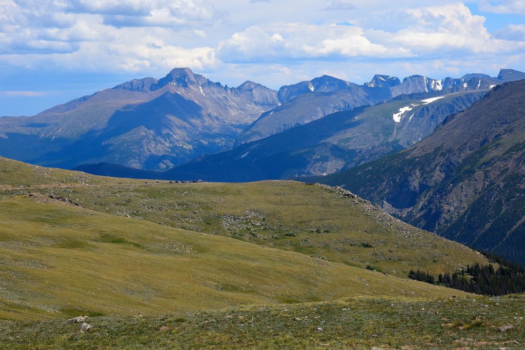
Georgette Parrish/Courtesy photo
Amid an intensifying wildfire season, Colorado Parks and Wildlife’s free Colorado Trail Explorer app is providing recreationists with active fire alerts to support informed decision-making and safety.
The app, also known as COTREX, is in its second year and covers all of Colorado, including Grand County. Its fire alerts include both wildfires and prescribed burns. Information is pulled from verified sources like InciWeb and the National Interagency Fire Center and looked over by a CPW staff member to confirm that it is valuable and up-to-date before going online.
“The reason COTREX exists is because we wanted to get safety information into outdoor recreationists hands right away,” said Bridget O’Rourke, CPW’s statewide public information officer. “I highly recommend it. I use it all the time. It’s a must-have (when) it’s wildfire season.”
Before going on a hike, app users can look at the map and see any active fires, fire boundaries, and closures that they can then avoid.
“COTREX is a powerful tool for planning your next trip,” State Trails Program Coordinator Joe O’Brien said in a press release. “We’re committed to increasing the amount of official information we can provide to help the public recreate safely and responsibly around the state.
David Boyd, public affairs officer for White River National Forest, emphasized the importance of people planning ahead for any possible closures or information in the area they’re looking to get outside.
“It’s helpful when popular websites and apps amplify our information,” Boyd said. “Avoiding areas with active wildfires is important for public safety as well as the safety of firefighters.”
There are currently nine fires going on in the state, with three of them classified by O’Rourke as “large.” Those include the Deer Creek Fire exceeding 15,000 acres, the Black Canyon of the Gunnison National Park’s South Rim Fire exceeding 4,000 acres with 0% containment, and the Turner Gulch/Wright Draw Fire that have consumed more than 14,000 acres together at the time of this article.
And, according to O’Rourke, the possibility of more fires popping up is likely.
“In the past five years, we are looking at a significantly drier summer,” she said of this season. “We all have to have our guard up and be aware this summer … I am personally very nervous.”
While all daily information in COTREX comes directly from what CPW writes are “the best available public sources,” the organization still noted in its press release that the app can still vary in accuracy and timeliness and local authorities can always be contacted for the most up-to-date information. The app can also only be used in service, so all users should check before heading to a trail.
“The thing about Colorado is you can always pivot your outdoor plan,” O’Rourke said. “There are so many other hikes that you can go and do.”
Free app provides fire alerts for Colorado recreationists
Amid an intensifying wildfire season, Colorado Parks and Wildlife’s free Colorado Trail Explorer app is providing recreationists with active fire alerts to support informed decision-making and safety.


Support Local Journalism
Support Local Journalism
The Sky-Hi News strives to deliver powerful stories that spark emotion and focus on the place we live.
Over the past year, contributions from readers like you helped to fund some of our most important reporting, including coverage of the East Troublesome Fire.
If you value local journalism, consider making a contribution to our newsroom in support of the work we do.