Could a weekend storm finally bring meaningful snow to Colorado’s northwestern resorts?
An upcoming two-day storm could bring up to 10 inches of snow for some Western Slope mountains, meteorologists say

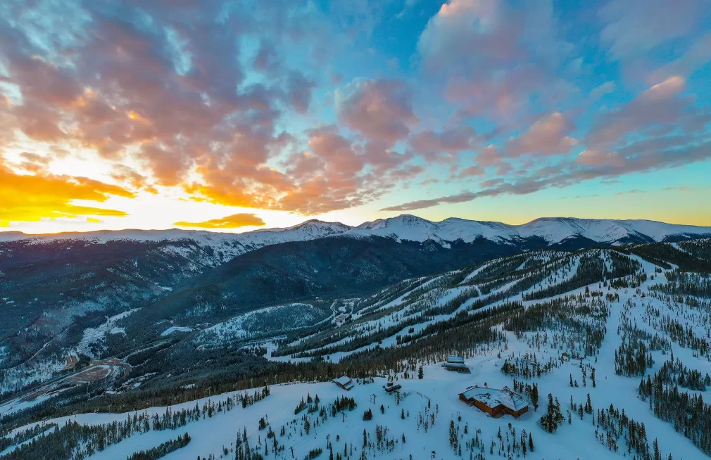
Following weeks of mediocre snow across Colorado’s northcentral mountains, an upcoming two-day storm could bring up to 10 inches of accumulation to some ski resorts.
Tuesday night’s storm landed slightly west of Colorado, bringing a light burst of snow — roughly 1 to 3 inches — to several northern and central mountains, while others received ample rainfall.
The next storm, expected to hit on Friday, Nov. 20, could bring more favorable conditions for snow across northwestern peaks, resulting in a few inches of snow for mountains farther west, according to a Wednesday OpenSnow forecast.
In towns such as Vail, Steamboat Springs and Aspen, snow could begin falling as early as Thursday night, accompanied by wind gusts around 35 miles per hour. Snow showers will likely intensify by Friday, according to National Weather Service forecasts.
While most mountain towns are forecast to see highs in the mid-30s to low-40s, mountain peaks can expect stronger snow showers with highs in the 20s.
The storm is forecast to continue moving through Colorado from Friday night into Saturday, with more snow showers expected throughout the day. Skies could begin to clear up by Saturday evening, according to the National Weather Service.
Saturday’s temperatures will be cooler, with highs in the teens across most peaks, according to OpenSnow. Mountain towns can expect highs in the low 30s.
Weekend accumulations for most mountains could fall between 3 and 6 inches of snow through Saturday night. Some northern and central mountains could see bigger totals, according to OpenSnow, with a few locations potentially receiving 6 to 10 inches.
Steamboat Ski Resort and Vail Mountain are among those most likely to receive close to 10 inches of snow, according to OpenSnow. Snowmass and Aspen are also forecast to receive between 6 and 8-inches, with resorts closer to the Continental Divide expected to see lower totals.
Sunday will bring a return to sunny and dry conditions, with temperatures in the 40s for most mountain towns. The next storm is forecast to reach Colorado the following Monday, Nov. 23, though odds for meaningful snow look low for most northwestern resorts.
Brooke Scholtens, a Grand Junction meteorologist with the National Weather Service, said Sunday’s sunny skies will likely melt off the accumulated snow for a majority of mountain towns, while the peaks should be able to hang on to a few inches.
“It will most likely stick in the initial onset of precipitation, but with Sunday being kind of dry and sunny, there will be a possibility for most of that to be melting off the roads,” Scholtens said. “I would expect some of the resorts to be holding on to (the snow) for a bit because it will also be cold, and the overnight lows will be pretty chilly.”
While Breckenridge Ski Resort and Vail Mountain opened on Nov. 13, Steamboat Resort announced it would be postponing its opening day to Nov. 27, due to temperatures being too warm to support snowmaking.








Support Local Journalism
Support Local Journalism
The Sky-Hi News strives to deliver powerful stories that spark emotion and focus on the place we live.
Over the past year, contributions from readers like you helped to fund some of our most important reporting, including coverage of the East Troublesome Fire.
If you value local journalism, consider making a contribution to our newsroom in support of the work we do.